


Killington Lane to Blackmoor Gate and Wistlandpound with Maps & Photos
Extending the railway beyond the current railheads.
Now we have the planning permission, fundraising has begun, if you can contribute or help us in any way, please click HERE.
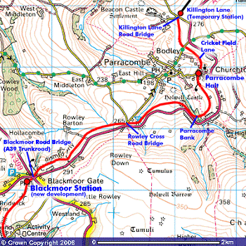
Image reproduced with kind permission of Ordnance Survey.
Killington Lane Halt is built alongside the trackbed so that the construction of the next section will not disrupt our current train services. Once the train service is extended to Blackmoor, Killington Lane Halt will be removed and the area revert back to farmland.

Aerial View of Killington Lane and Beacon Down Quarry © L&BRT Philip Lane. The red line indicates the approximate track alignment.

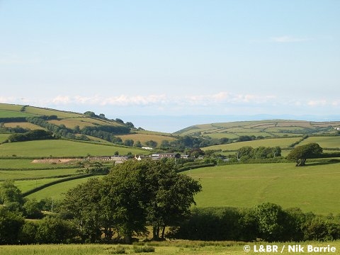
From the south looking towards Woody Bay
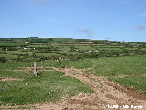
The railway will go under Killington Lane via a new bridge. The bridge design was produced for the railway by engineering design consultants Atkins. We have the planning permission, we can build the road bridge once sufficient funds have been raised. The cuttings will of course need to be dug out!

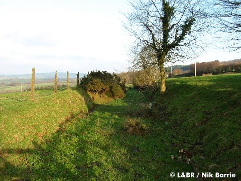
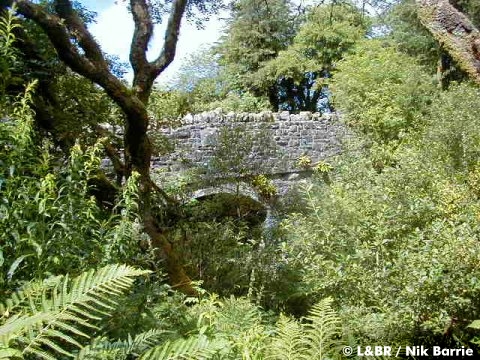
Beyond Killington Lane, the railway leaves a cutting and sweeps through the fields to Parracombe Lane. The bridge here is still intact (pictured) and just requires one new parapet wall one side and the fill excavated from both sides.
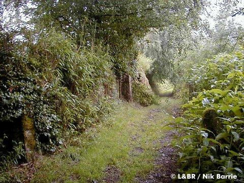
At Cricket Field Lane (shown above) the railway crosses a right of way on the level. A triangle of land has been purchased adjoining the trackbed for possible other uses in the future. At Parracombe Churchtown the trackbed curves around the back of Fairview, to the Halt - see below..

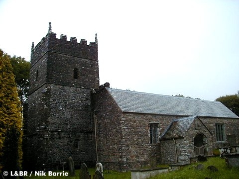
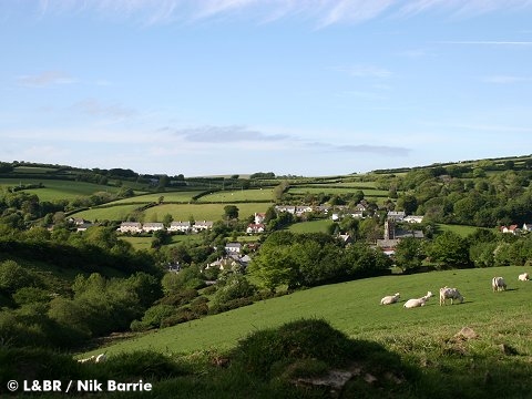
In a slightly more sheltered location at Churchtown, Parracombe will be a fantastic station. It is a stone's throw from the historic St Petrock's Church, one of the oldest church buildings in Britain. Parracome also boasts Heddon Hall Gardens and the village's pub The Fox & Goose.
The old concrete waiting shelter on the platform at Parracombe is still in situ!

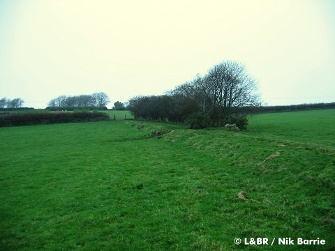
From Parracombe Halt, the railway traverses open fields before reaching Parracombe Bank. The centre of the embankment was washed away in 1952 during the Lynmouth Floods.

The trackbed clings to a ledge below the A39, passing through Holwell Woods and then through the fields immediately above Holwell Castle, Parracombe's own textbook-style Motte & Bailey Castle!
There are some wonderful views looking back to Parracombe, and then a brief stretch where the railway runs parallel to the A39, through a cutting to Rowley Cross and another significant cutting again filled in.

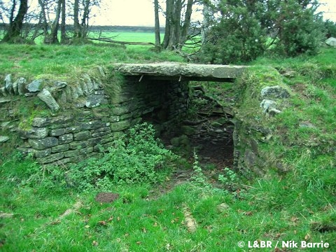
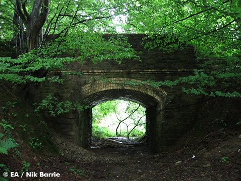
The bridge at Rowley Cross is still there, but more fill will need excavating from the cutting. Beyond the bridge, in the next field, a cast-in-situ occupation crossing is still be visible.
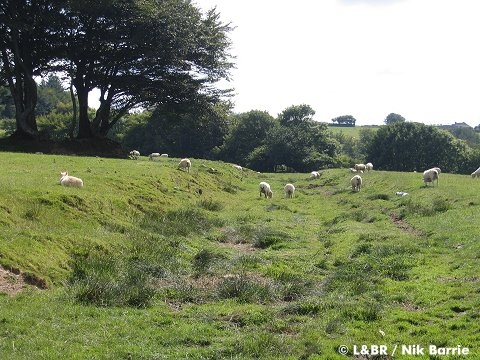
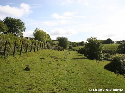
Between Rowley Cross and Blackmoor the trackbed switches between level open fields, embankments and patches of woodland. The views here are equal to those near Woody Bay, but are now seen from a different angle.
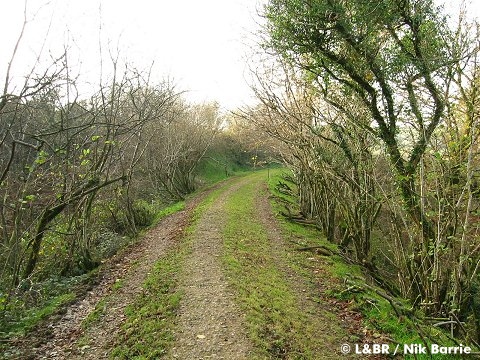
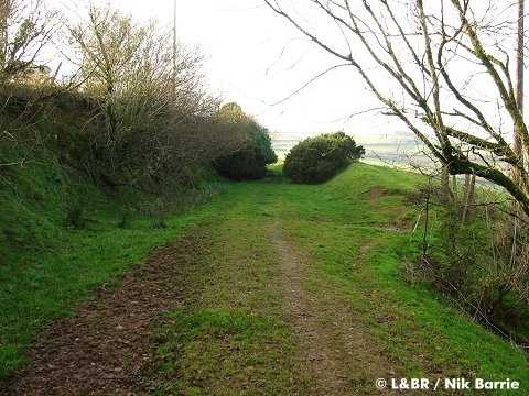
Very little work needs to be done on the trackbed between Rowley and Blackmoor. as it remains sound with few obstacles.
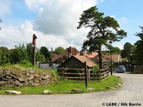
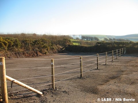
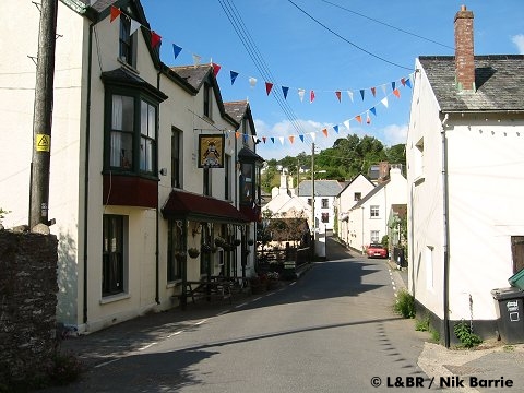
At Blackmoor the new railway will pass under the A39 and come out alongside the Old Station Inn.
This area is the site of a proposed Transport Hub so another important benefit of bringing the railway to Blackmoor Gate, is that it will be a significant feature as part of a park and ride scheme from the edge of the National Park to Lynton & Lynmouth. We will be developing this in partnership with Exmoor National Park and Devon County Council.

Image reproduced with kind permission of Ordnance Survey.


At Blackmoor the new railway formation will allow the pub and restaurant to continue to function as it is and this will complement the railway.


The trackbed between Blackmoor and Wistlandpound has been transferred from Exmoor Associates to the L&B Trust.

The missing bridge No.54 over Pound Lane has been reinstated.
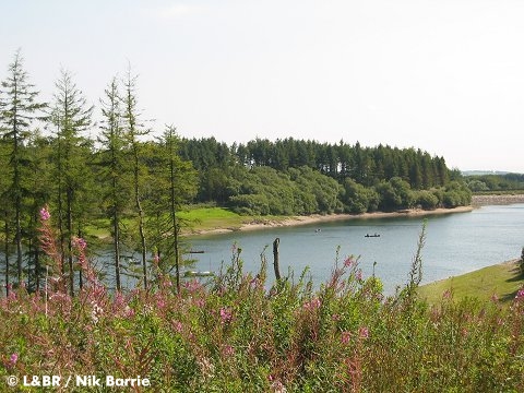
At Wistlandpound, the original trackbed remains intact to a point just past the bridge by the Calvert Trust access path. It is anticipated that here, just prior to the start of the deviation, a new station/halt will be constructed to serve Wistlandpound and the Calvert Trust. This will make another fantastic stopping point for visitors, with scenic woodland walks and trails, plus the opportunity to link with the Calvert Trust which is likely to bring wide ranging benefits to the local community.
It is not intended that we rebuild the railway from Wistlandpound to Lynton in one hit - but given the necessary funds and support anything is possible.
Exmoor's Award Winning Railway

![]()
![]()
L&B News
![]()
You search online - others will donate!

Join the 100 Club
![]()
Members

Latest Update:
18th October 2022
Member
![]()
We are listed on


![]()
Corporate Supporters - Where to Stay
![]()
![]()

![]()
![]()
![]()
![]()